Predominantly millennials with a passion for public transport, urban planning and internet humour, Numtots’ interests intersect in New Urbanist Memes for Transit-Oriented Teens.
Tag: transit
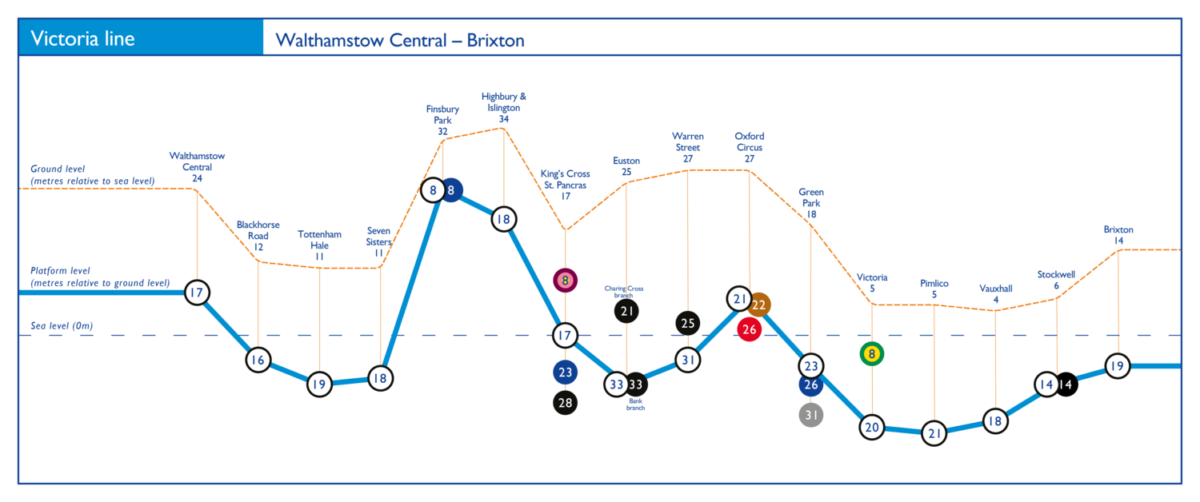
Underground depth diagrams

Daniel Silva has created a series of diagrams illustrating the height of all stations and platforms, below and above ground on the London Underground.
Montreal’s STM is updating their signage (more info), with a focus on wayfinding and legibility. They’re shifting the typography from Univers 57 to Transit, as well as implementing a custom monospace and pictogram fonts.
Montreal metro map poster. These are the ones that displayed in the metro cars, they’re quite large. I picked one up last weekend at a local street fair — now I need to figure out how to hang it on the wall.
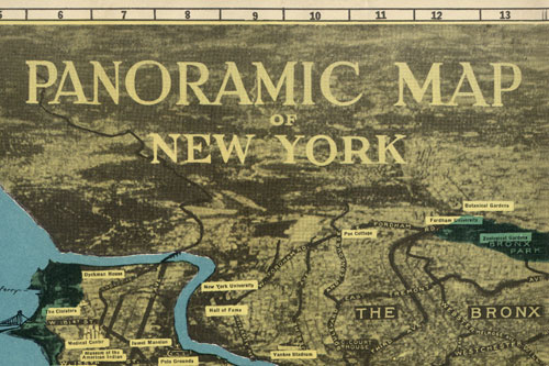
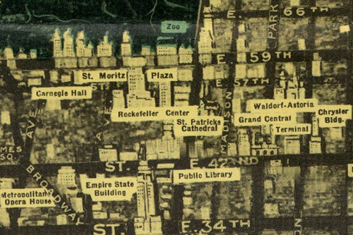
Panoramic Map of New York


Map Cover: large | flickr
Map Front: small | large | flickr
Picked this map up a few months ago at a used bookstore, but kept forgetting to actually scan the thing. It’s pretty funky, with a weird perspective that you don’t usually see these days. The map has no date, but sometime around 1950 would be a decent estimate.
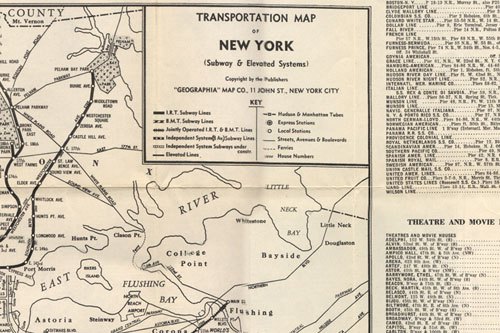
There’s a transit map on the back, but it needs some more work before it gets posted. We’ll save that project for a rainy day, I’ve already put far too much effort into stitching this one together.
Update
Comments also indicate that the map is likely from around the time of the 1939 World’s Fair. I’ve also added a copy of the transportation map on the back. Had scanned it in but forgot to stitch the images together.

Map Back: small | large | flickr
Update 2
From Jim Hughes at Codex 99.
Although the traditional maps were becoming more accurate, the ever-increasing height and sheer density of buildings made perspective mapping increasingly problematic. This map, prepared as a 1939 World’s Fair souvenir by Alexander Gross shows the limitations of traditional perspective.
